 |
Weather
|
|
Aviation Weather Quick Links
Current Observations
Weather Conditions in United States PIREPS
| Big picture Help | ||||
| Satellites | Charts | |||
| World Visible | Upper Air Winds Present and Forecast | |||
| World Infra-red | ||||
| Visible Western Hemisphere (Goes 8) | Radar | |||
| Infra-Red Western Hemisphere | National | |||
| Visible North America | Site Specific | |||
| Infra-Red North America | ||||
| Visible US | Infra-Red US | Airmets | ||
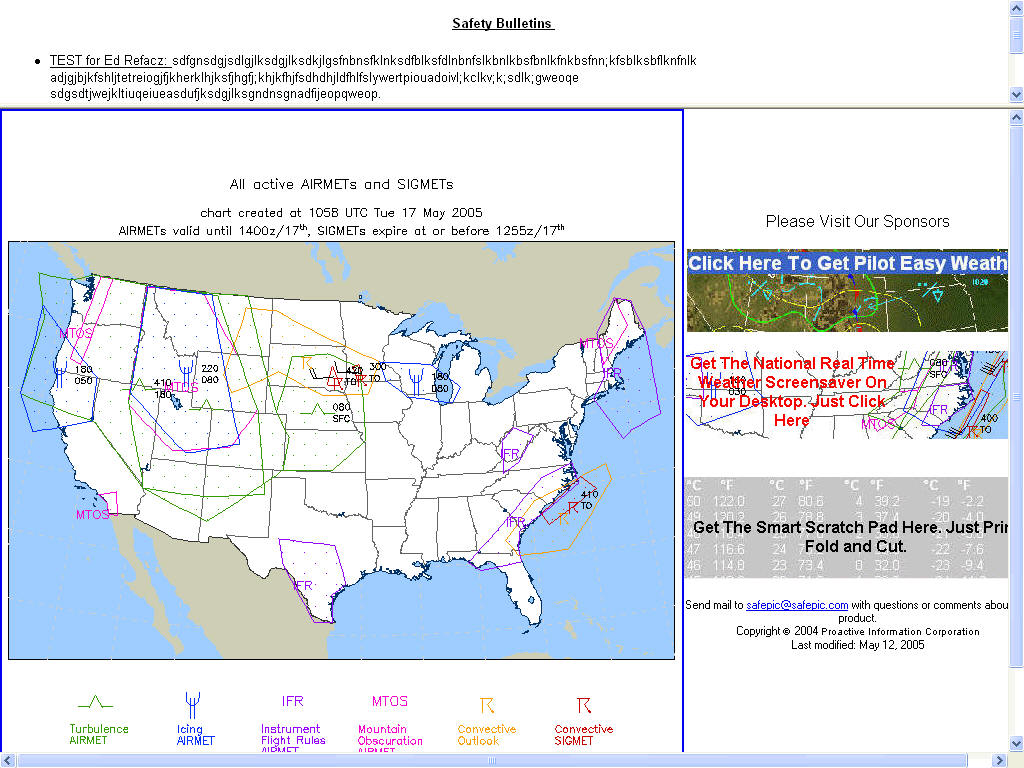
| South America | Asia | Airmets IFR Conditions/Obscuration | ||
| Europe Infra-Red | Middle-East | Airmets Turbulence Advisories | ||
| Australia | New Zealand | Airmets for Icing Advisories | ||
| Charts | Sigmets | |||
| Surface | International Sigmet | |||
| Overview | ||||
| Temperature | Advisories | |||
| Dew Point | Watches/Warnings | |||
| Pressure Analysis Reference to Sea Level | Visible North America | |||
| Pressure Change in Last 3 Hours | ||||
| Wind Velocity in Knots | ||||
| Wind Velocity in Knots | ||||
| 24 Hour Precipitation | ||||
| City Cam-Picture of Cities Around the World | ||||
Site Specific Doppler Radar (NEXRAD) Help
|
|
||||||||||||||||||||||||
Radar Looping
Airport Delay Forecasts
Area Forecasts
Today's Forecast of Surface Conditions (24 Hours)
Tomorrow's Forecast of Surface Conditions (48 Hours)
Travelers' Weather/ Present and Extended Forecast
Coming Soon - Skew-T/Log-P Sounding Diagrams
The weather forecast information provided should not be relied on in lieu of officially disseminated weather information. This server is an experimental means for disseminating weather information through the internet to a broad rage of users.
| MSLP Atlantic Charts | MSLP Europe |
| MSLP Atlantic Analysis | MSLP Surface Analysis |
| 24 Hour Forecast | MSLP Analysis FL250 |
| 48 Hour Forecast | |
| 72 Hour Forecast | |
| 96 Hour Forecast | |
| 120 Hour Forecast | |
| Antarctica | Australia | Hawaii | South America |
| Africa | Canada | Japan | |
| Alaska | Caribbean | Middle-East | |
| Asia | Europe | New Zealand |
Web Weather, From Last Minute to Last Year
The aim of this article is to introduce users to the newly developed and leading edge weather section of the SafePIC site. "Weather" is divided into seven sections which will help users expedite the process of locating the information they need. These sections include What Pilots Need to Know, Big Picture, NEXRAD, Extras, Forecasts for Freshmen, Weatherheads and Weather History. Web weather is only in its infancy thus this site can only be legally used to highlight government weather briefs.
What Pilots Need to Know contains the basic information pilots need to fly a trip. Using this section is very straightforward. For instance, hourly weather and terminal forecasts for the last 24 hours can be obtained by clicking on the word and entering the three-letter identifier for the airport or city name. Following this, you select the time period that ranges from the most recent report to yesterday’s report. Finally, you select raw data or decoded data for METAR format or forecast data.
Pilot reports for sky conditions, turbulence and icing are also available in this section. Graphic maps allow pilots to view the entire U.S. report at once. Each graphic is updated every twelve hours.
Big Picture contains satellite and radar pictures as well as surface and upper air charts. The satellite section contains two types of pictures, Visible and Infra-red. Visible is used for
viewing when the sun is up and Infra-red for evening observations. Each picture is divided into geographical areas based on size, ranging from large to small. It begins with the World and goes to Western Hemisphere, (Goes 8), shrinks to North America, then finishes with the U.S. There is also a section on Europe in Infrared.Surface Charts contain a plethora of information. To access this data, the first step is to go to Overview, which contains temperature/dew point analyses, sea-level pressure in millibars, and 3-hour pressure trends in millibars per hour. Each of the overviews is then broken out for separate viewing. Wind velocity, in knots, and 24-hour precipitation levels are highlighted. An actual view of the area’s surface is contained in City-Cam pictures, some of which are updated every minute. Upper Air Charts present constant pressure analyses with temperature, wind, and pressure gradients. Views start at 850 millibars (5,000ft), and continue through 200 millibars (38,500ft).
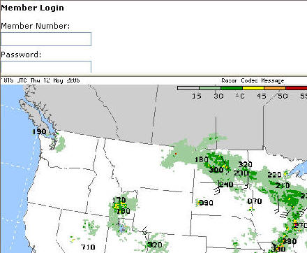
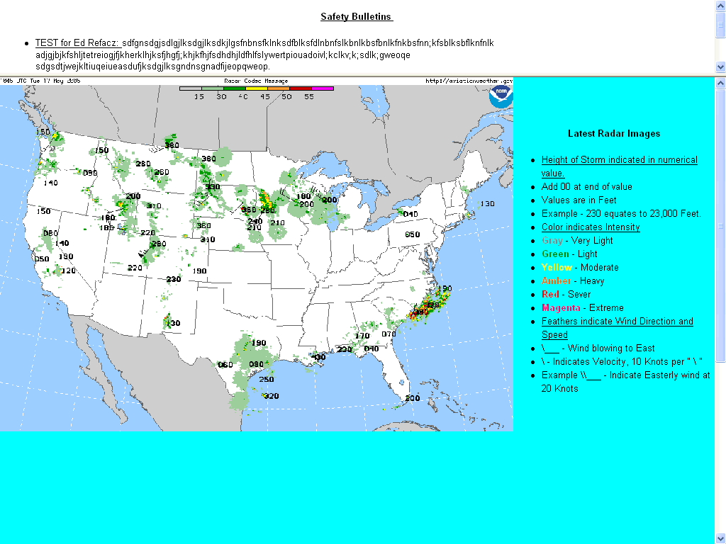
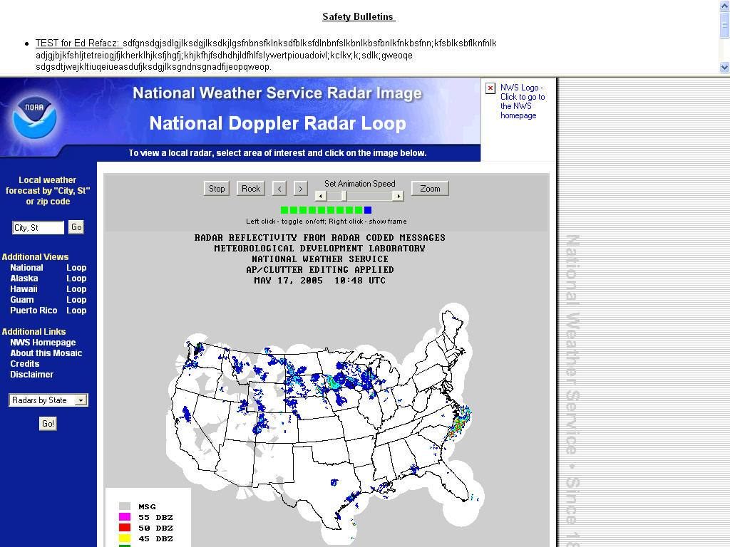
The next part features Radar. It covers the United States and starts with an overview of the country followed by a picture map of the U.S.,with all the Radars hyperlinked. From here, the user can point and click in the desired area and find the closest radar to that location
Model runs comprise Airmets that begin with IFR Conditions/[Obscuration]. Airmet turbulence and Airmets for icing advisories follow with Sigmets and international Sigmets included in the last section.
NEXRAD, the Doppler Radar section, presents visually the areas around major cities. The featured cities include Atlanta, Boston, Chicago, Cincinnati, Denver, Dallas, Kansas City, Los Angeles, Louisville, Miami, Minneapolis, New Orleans, New York, Philadelphia, Pittsburgh, Portland (Oregon), St. Louis, Salt Lake City, San Francisco, and Washington DC. Each view is updated every 15 minutes, which means that you can access what is essentially real-time data.
Extras contains information on satellite looping and highlights the latest model developments, a quick view forecast and outlooks. Satellite Loops provides a moving picture of the U.S. weather. You can select your preferred number of frames to view in your loop with a minimum of four frames. Area forecasts presents an abbreviated outlook of a state's weather. The section called
long range outlooks contains experimental maps, some of which use ACARS for data. These available maps are all 12-hour forecasts and include 3-hour surface pressure changes, surface wind speed, mean sea-level pressure, precipitation, snow accumulation, wind velocity and 250 MB (35,000ft) winds. Finally, there is a turbulence data display which allows the user to select a time period and pressure altitude from 2,000 to 42,000 feet, graduated in thousand foot increments.Forecasts for Freshmen begins with Current Weather which is an analysis of the U.S. weather patterns for the past hour. Today's Forecast presents a surface analysis forecast for the next 24 hours while Tomorrow's Forecast presents the same data for the next 48 hours. U.S. Forecast Highs and Lows are the current day’s temperature extremes for the nation. Traveler's Weather/Present and Extended Forecast gives up to a four-day forecast for selected cities and this is accessible by clicking on the desired city name.
Weather History provides some of the information needed to fill out NASA/ASRS and other related forms and contains historical data for the last two years. Surface Maps provides radar summaries, surface data plots, fronts and pressure contours for the entire U.S. Infra-red Satellite Images highlights areas of clouds (cold areas), and clear (warm areas). Upper Air Charts shows surface, 850, 700, 500, and 300 millibars as well as relative humidity. To find the information you desire, select the desired date, click on the topic and select the appropriate month and year, followed by the day and time period - the time is presented in six-hour blocks.
In the next issue of The Safety Mind, I shall review the NASA/ARSR help form on this site. Please be alert for a presentation on Heads-Up Displays coming to the SafePIC site soon. Also, please remember to forward your comments on my site, both positive and negative, as they help immensely with development - after all, the site is developed for all of you, the users. Your suggestions will benefit you by reducing the time it takes to locate and interpret data and the site will benefit by taking your information, processing it and distributing it to those who will use it constructively. And that, hopefully, is you.
 |


